Fossils, Antique Color Plates & Engravings, Rare Books, Antique Maps, Malachite Figurines
Sale Starts
Dec 1
10:15amSale Ends
Dec 7
7pmTerms & Conditions
• Packing, Moving & Transporting of your items will NOT BE PROVIDED upon pickup.
All sales are final. All items are SOLD AS IS. Bidders are strongly encouraged all to ask any questions prior to bidding. Please refer to photos as part of description. All items are sold as-is, where-is. While Fairlight Estate Sales will do its best to list any damage, repairs or restorations, the absence of these descriptions or conditions must not be taken to imply that the lot is in perfect condition. Most of the items Fairlight Estate Sales sells are antique, vintage or used. You should expect signs of wear consistent with age. All sales are final. No returns, credits or exchanges.

Fairlight Estate Sales
Description & Details
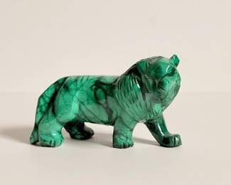
| Hand Carved Malachite Lion Figurine | ||
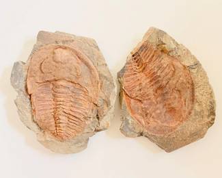
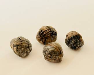
| Preserved Trilobites Fossils | ||
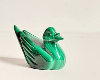
| Mini Hand Carved Malachite Duck | ||
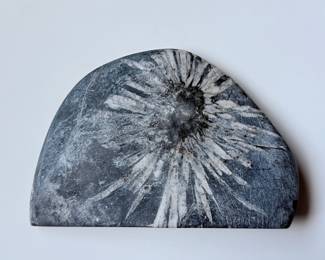
| Chrysanthemum Stone | ||
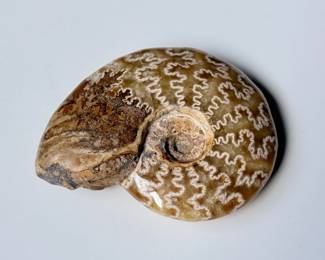
| Polished Ammonite Fossil Of A Genus Cleoniceras | ||
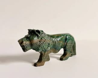
| Verdite Stone Lion | ||
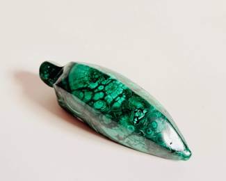
| Malachite Banana Figurine | ||
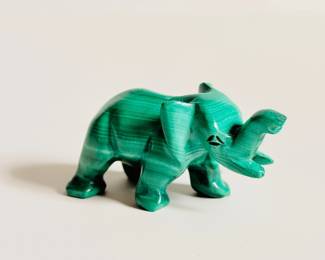
| Miniature Malachite Elephant | ||
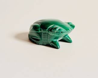
| Miniature Malachite Frog | ||
| Pair Of Vintage Small Tarahumara Indian Clay Pots | ||
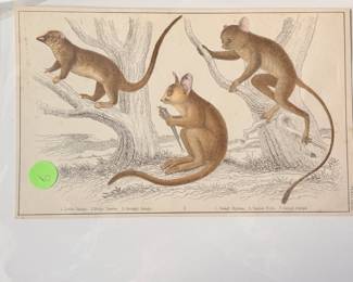
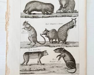
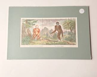
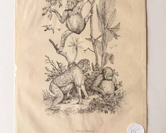
| Small Primates, Antique Colored Print | ||
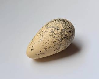
| Fossilized Bird Egg | ||
| Polished Slab Of Turritella Agate | ||
| Carved Gecko In Red Stone | ||
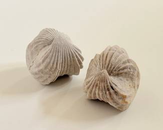
| Terebratula Ampulla Upper Miocene Almeria-spain 1 Of 6 | ||
| Four Small Trilobite Fossils | ||
| Terebratula Ampulla Upper Miocene Almeria-spain 2 Of 6 | ||
| Burmirhynchia Decorata, Medium Jurassic Piox Terron, Ardenes France 1 Of 2 | ||
| Terebratula Ampulla Upper Miocene Almeria-spain 3 Of 6 | ||
| Burmirhynchia Decorata, Medium Jurassic Piox Terron, Ardenes France 2 Of 2 | ||
| Terebratula Ampulla Upper Miocene Almeria-spain 4 Of 6 | ||
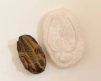
| Trilobite Fossil And Plaster Mold | ||
| Terebratula Ampulla Upper Miocene Almeria-spain 5 Of 6 | ||
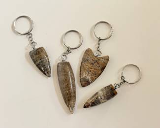
| Set Of Four Fossil Horn Keychains | ||
| Terebratula Ampulla Upper Miocene Almeria-spain 6 Of 6 | ||
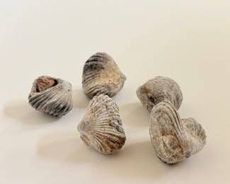
| Five Small Burmirhynchia Decorata Fossils | ||
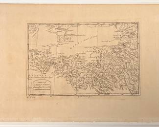
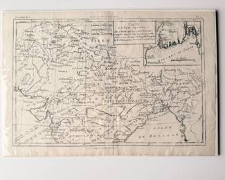
| A Map Of Great Tibet Drawn From That Made By Lama Mathematicians | ||
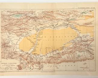
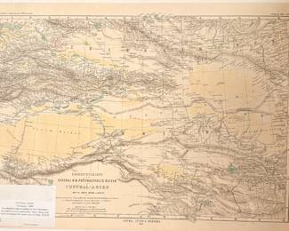
| Antique Chinese Turkistan Map Showing Routes Of Col. M. B. Pevtsof And K.I. Bogdanovitch | ||
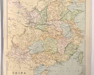
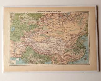
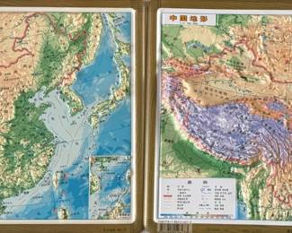
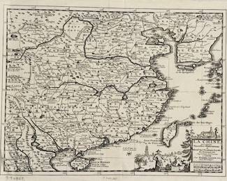
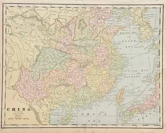
| Map Of China Proper | ||
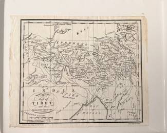
| Map Of Tibet, Trusler 1790. With COA | ||
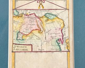
| Grande Tartarie, Mallet, Paris, 1683 Map | ||
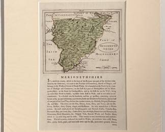
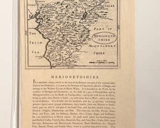
| Antique Map Of Merionethshire | ||
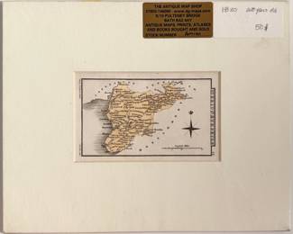
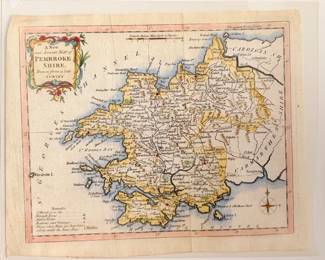
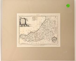
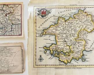
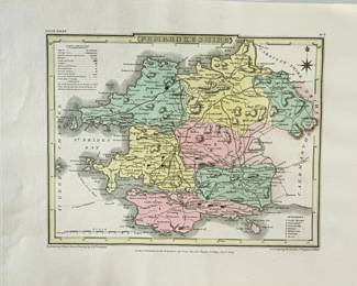
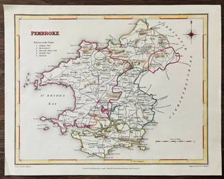
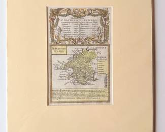
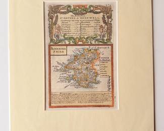
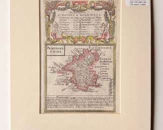
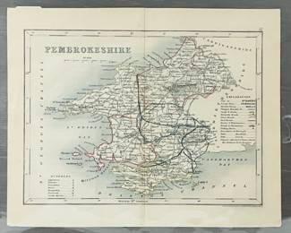
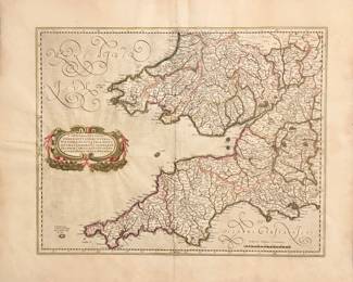
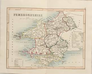
| A New And Accurate Map Of Pembrokeshire, Drawn From A Late Survey | ||
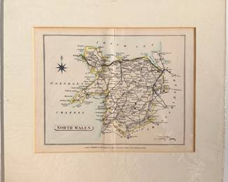
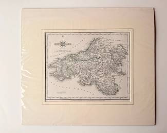
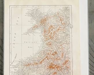
| Antique Map Of North Wales | ||
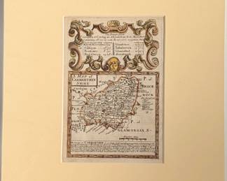
| Antique Map Of Carmarthenshire C1720 By Owen And Bowen | ||
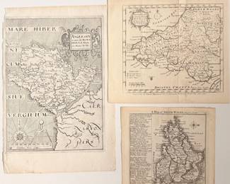
| Trio Of Antique Maps | ||
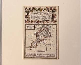
| Antique Map Of Carnarvanshire C1720 | ||
| Antique Map Of Merioneth C1780 | ||
| Antiqye Map Of Merionethshire In North Wales | ||
| A Map Of Cardiganshire, London Magazine, C1773 | ||
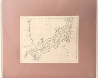
| Antique Map Of Japan With COA . By Arrowsmith And Lewis, Boston 1812 | ||
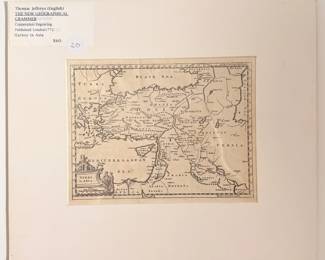
| Turkey In Asia Copperplate Engraving Map Print | ||
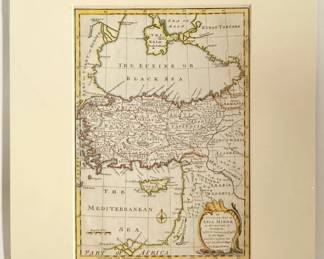
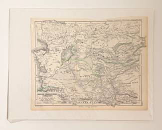
| Antique Map Of Asai Minor | ||
| La Grande Tartarie, Western Europe Antique Map | ||
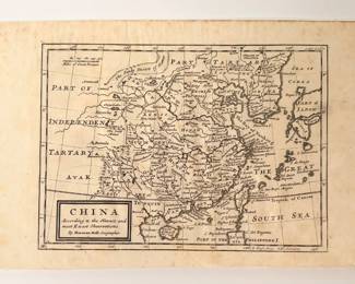
| Antique Map Of China, 1730 By Moll | ||
| Russisch-turanisch-chines- Greanzgebiete Antique Map | ||
| Sketch Map Of Bokhara To Illustrate The Journey Of W. Rickmer Rickmers 1898 | ||
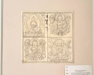
| Temple Gods And Script Style By Schwabe 1753 | ||
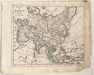
| Karte Von Asien Antique Map | ||
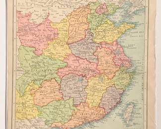
| Antique Map Of China | ||
| Central-asien, Petermann, C1889 Original Map | ||
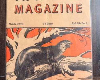
| Vintage Natures Magazine, March 1946 | ||
| Vintage Little Black Sambo Coloring Book | ||
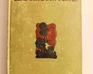
| "Freckles" By Gene Stratton Porter | ||
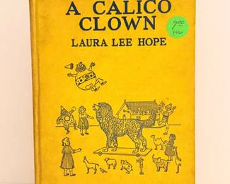
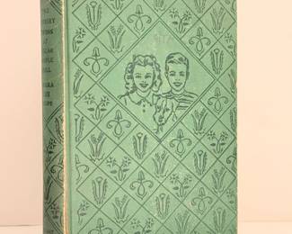
| "The Story Of The Calico Cat" By Laure Lee Hope | ||
| "The Bobbsey Twins In The Country" By Laura Lee Hope | ||
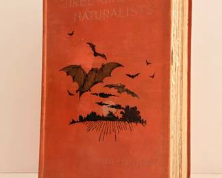
| "Three Great Naturalist" By John Upton. | ||
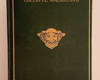
| "More Cheerful Americans" By Charles Battell Loomis | ||
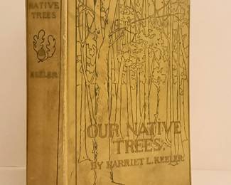
| "Our Native Trees" By Harriet L. Keeler | ||
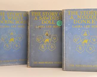
| The Make-believe Stories By Laura Lee Hope | ||
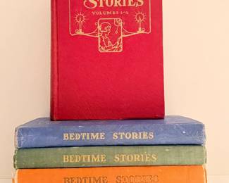
| Uncle Arthurs Bedtime Stories, Volumes 1-20 | ||
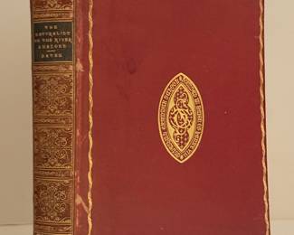
| "The Naturalist On The River Amazons" By Henry Walter Bates. 1910 | ||
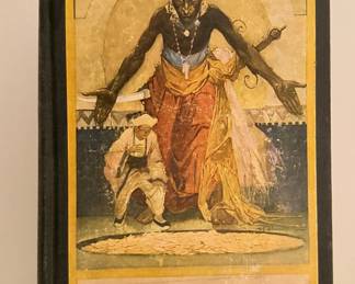
| "The Arabian Nights Entertainments" By Louis Rhead. 1916 | ||
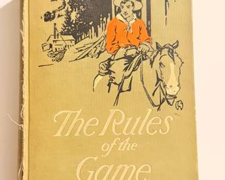
| "The Rules Of The Game" By Stewart Edward White. 1911 | ||
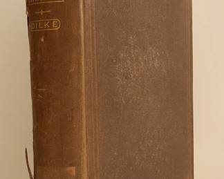
| "A Greater Britain: A Record Of Travel" By Charles Wentworth Dilke | ||
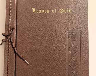
| "Leaves Of Gold" By Clyde Francis Lytle | ||
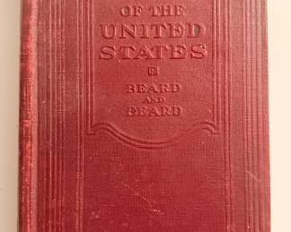
| "History Of The United States" By Charles And Mary Beard. 1920's | ||
| "Invertebrate Palaeontology" By Herbert Leader Hawkins | ||
| "The Crusades" By Harold Lamb. 1930 | ||
| "The Furniture Of Our Forefathers" By Esther Singleton. 1913 | ||
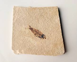
| Fossil Fish Plate | ||
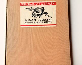
| "wigwam And Warpath" By Isabel Juergens | ||
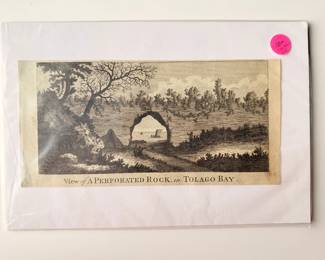
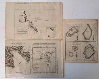
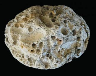
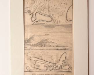
| View Of A Perforated Rock In Tolago Bay- 100-year-old Print | ||
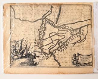
| La Ville De Gand 1712 Map | ||
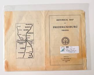
| Historical Map Of Fredericksburg Viginia, 1929 | ||
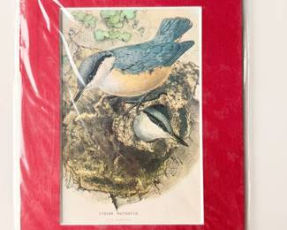
| Syrian Nuthatch Color Print | ||
| David Copperfield, Retold For Children By Alice F. Jackson | ||
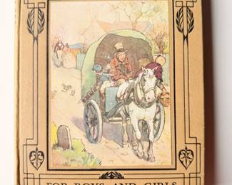
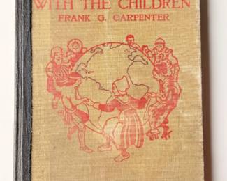
| "Around The World With The Children" By Frank G. Carpenter | ||
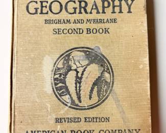
| "Essentials Of Geography" By Albert Brigham And Charles Mcfarlane | ||
| "Explorers And Travelers" By General A.W. Greely 1893 | ||
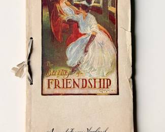
| "The Beauties Of Frienship" By Sam F. Woolard. October 1906 | ||
| "The Story Of Black Sambo" By Henry Bannerman. The Only Authorized American Edition | ||
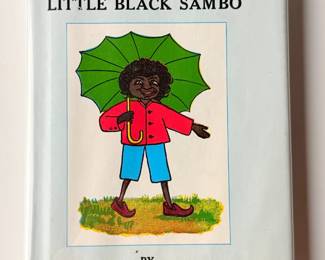
| "Little Black Sambo" Illustrated By Violet LaMont | ||
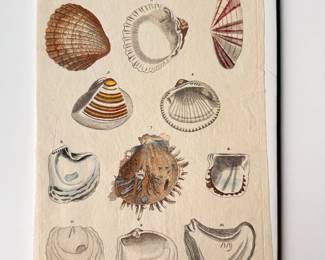
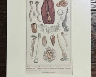
| Plate 2 Bivalves Print | ||
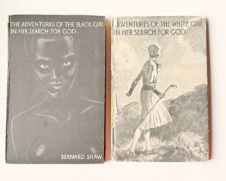
| "The Adventures Of The..." Vintage Books By Bernard Shaw | ||
| "The Two-Ocean War" Short History Of The US Navy In The Second World War By Samuel Morison | ||
| "The Innocents Abroad" By Mark Twain. 1870 | ||
| Decorative Wood And Ceramic Duck Figurines | ||
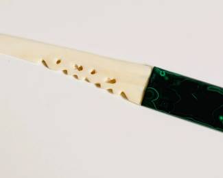
| Malachite And Bone Knife 1 Of 2 | ||
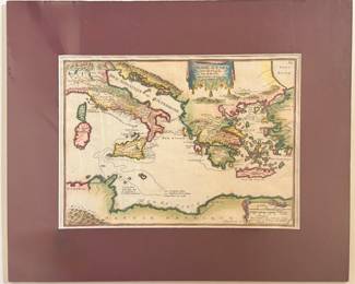
| Voyage D'Enee De Fer, Paris. 1705 Map | ||
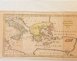
| Aeneae Trojani Navicatio Antique Map | ||
| Harp Heals, Masterpiece Porcelain Figurine | ||
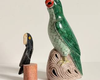
| Vintage Chinese Porcelain Glazed Parrot And Hand Carved Stone Toucan | ||
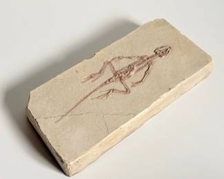
| Homoeosaurus Jourdani Fossilized Cast | ||
| Malachite And Bone Knife 2 Of 2 | ||
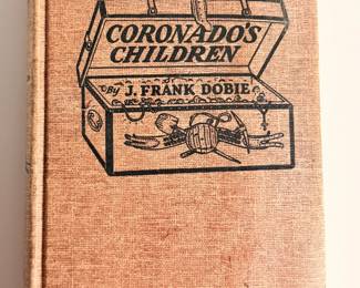
| "Coronados Children" By J. Frank Dobie | ||
| "The Silver Country Of The Great Southwest" By Alex D. Anderson 1877 | ||
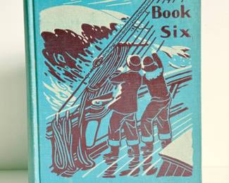
| "The Laidlaw Basic Readers Book Six" 1941 | ||
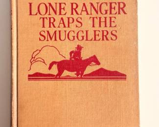
| "The Lone Ranger Traps The Smugglers" By Fran Striker. 1941 | ||
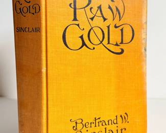
| "Raw Gold" By Bertrand Sinclair. 1907 | ||
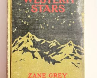
| "The Light Of The Western Stars" By Zane Grey | ||
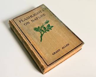
| "Flashlights On Nature" By Grant Allen 1898 | ||
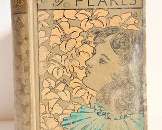
| "A Chaplet Of Pearls" C.M. Yonge | ||
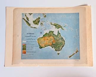
| Australia And Neighboring Islands Map | ||
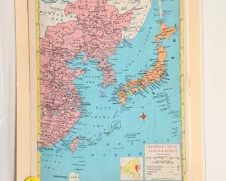
| Eastern China, Japan And Korea Map From Hammond's World Atlas | ||
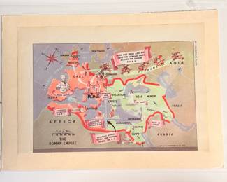
| The Roman Empire Map From Hammond's World Atlas | ||
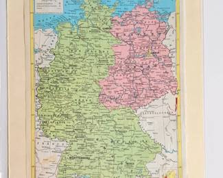
| Germany, Map From Hammond's World Atlas | ||
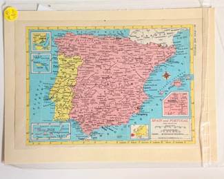
| Spain And Portugal Map From Hammond's World Atlas | ||
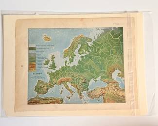
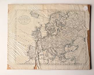
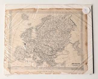
| Europe, Map From Hammond's World Atlas | ||
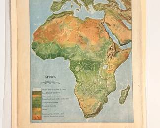
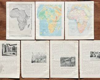
| Africa Antique Map | ||
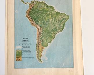
| South America Antique Map | ||
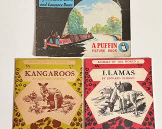
| Waterways And Animals Of The World Short Stories | ||
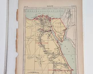
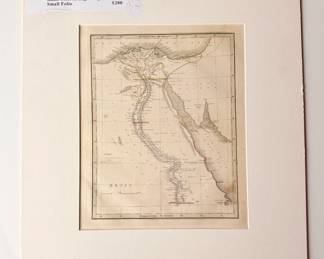
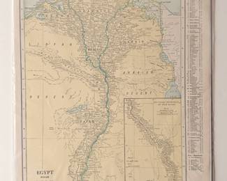
| 1890 Map Of Egypt | ||
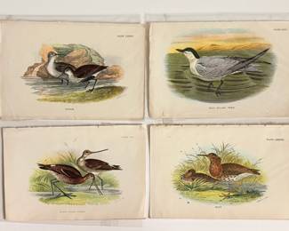
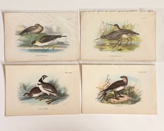
| Lloyds Natural History British Birds Prints | ||
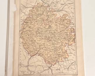
| Hereford County U.K. 1885 Map | ||
| Pratincole Bird And More From Lloyds Natural History British Birds | ||
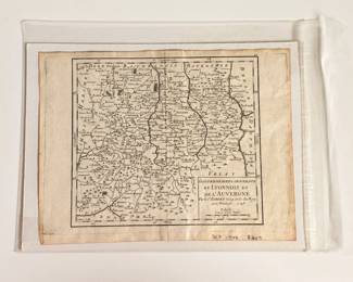
| Du Lyonnois Et De L'Auvergne Map | ||
| Lloyds Natural History British Birds Prints Including Great Bustard And Lapwing | ||
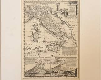
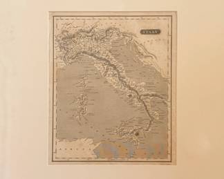
| Italy, Hand Coloured Copperplate Engraving By Emanuel Bowen. 1767 | ||
| Small Coprolite Fossil | ||
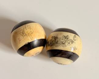
| Pair Of Chinese Health Balls | ||
| Small Dinosaur Clay Sculpture | ||
| Map Of South America - Fig. 648. Map Print | ||
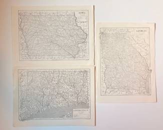
| Iowa, Conneticut, And Georgia Map Prints | ||
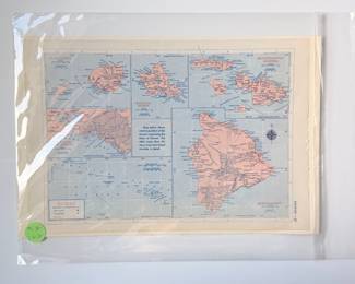
| Hawaii Map Print, C.S. Hammond & Co. | ||
| Antique Map Of Korea And Manchuria | ||
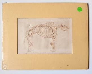
| Print Of An Engraving Illustrating A Great American Mastodon | ||
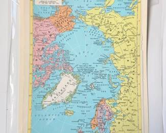
| Map Of The Arctic Ocean Region | ||
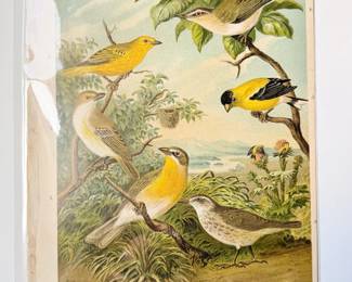
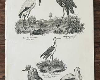
| Various Bird Species Antique Print | ||
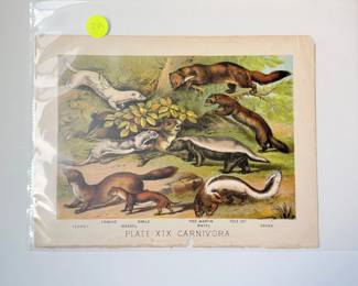
| Plate XIX Carnivora Antique Color Print | ||
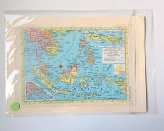
| Southeast Asia Map Print Published By C.S. Hammond | ||
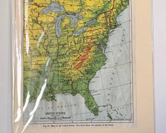
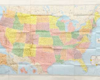
| 1942 School Book Map Of The United States | ||
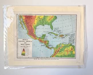
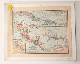
| Mexico, Central America And West Indies 1942 School Book Map | ||
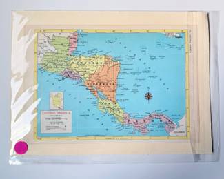
| Hammonds World Atlas Map Of Central America | ||
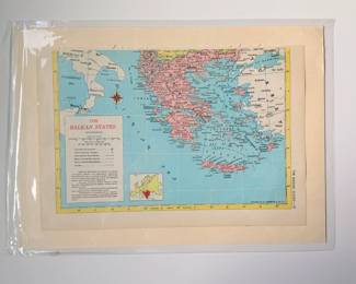
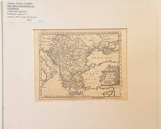
| Hammonds World Atlas Map Of The Balkan States | ||
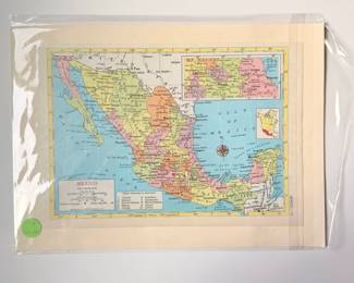
| Hammonds World Atlas Map Of Mexico | ||
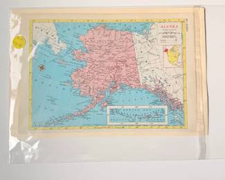
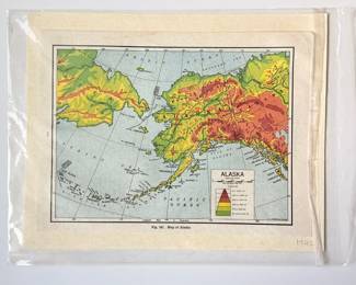
| Hammonds World Atlas Map Of Alaska | ||
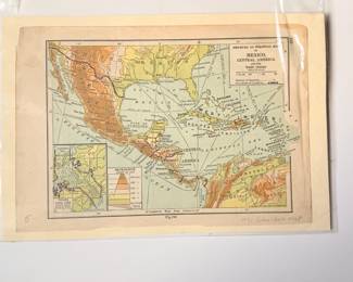
| Physical And Political Map Of Mexico, Central America And The West Indies | ||
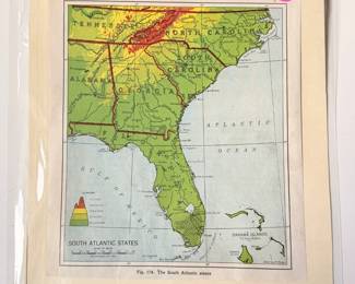
| 1942 Schoolbook Map Of The South Atlantic States | ||
| Water Monitors Robbing A Nest, Vintage Colored Print | ||
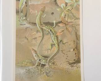
| Wall Lizards Colored Print By P.J. Smit | ||
| Minor Settlements In Europe And Asia Map | ||
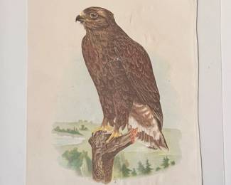
| Rough Legged Hawk (young) Colored Print | ||
| Americn Goshawk (young) Colored Print | ||
| British Isles Antique Topographic Map | ||
| 1942 School Book Map Of Alaska | ||
| Italy- Longman, Husrt & Rees. London 1832 | ||
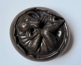
| Hand Carved Dinosaur Hatching Paper Weight | ||
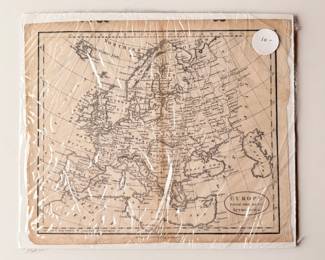
| Antique Europe Map, Published 1772 | ||
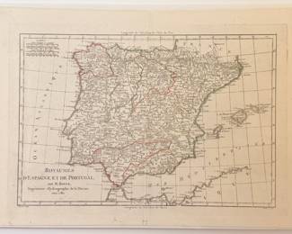
| Spain And Portugal- Bonne, Paris C. 1780 Map | ||
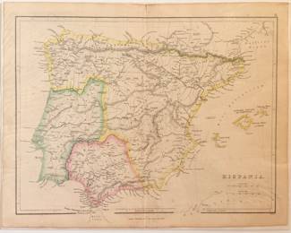
| Antique Map Of Hispania | ||
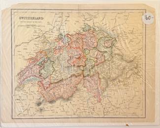
| Antique Map Of Switzerland | ||
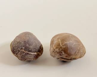
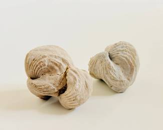
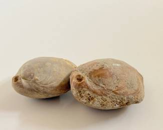
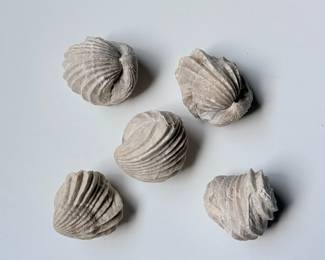
| Fossilized Brachiopod Shells | ||
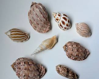
| Collection Of Small Harp Shells | ||
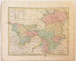
| Antique Map Of Austria | ||
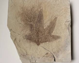
| Platanus Sycamore, Green River Formation | ||
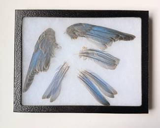
| Preserved Blue Bird Wings And Feathers | ||
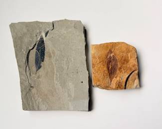
| Two Fossilized Leaves In Stone | ||
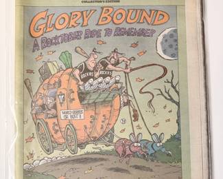
| October 2007 World Series Rocky Mountain Newspaper | ||
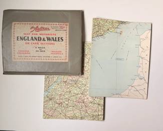
| Map For Motorists England And Wales On Card Sections | ||
| 1970s-1990s Newsweek Magazines | ||
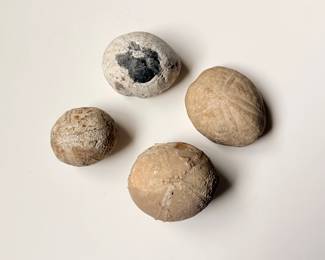
| Fossilized Sea Urchins | ||
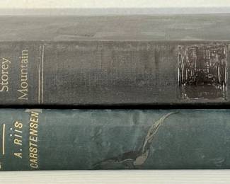
| Pair Of Vintage Books Including Two Summers In Greenland By A. Riis Cartensen | ||
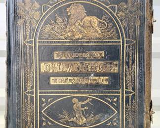
| The Life And Explorations Of David Livingston L.L.D. | ||
| Pair Of Vintage Books Including Young Peoples History Of The World By Henry Davenport Northrop | ||
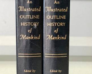
| An Illustrated Outline History Of Mankind Vol I,II | ||
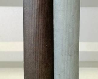
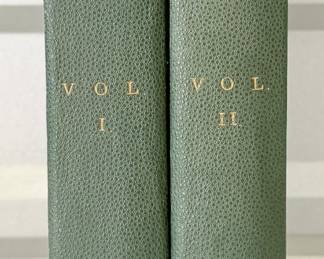
| Pair Of New Popular Educator Vol I And II | ||
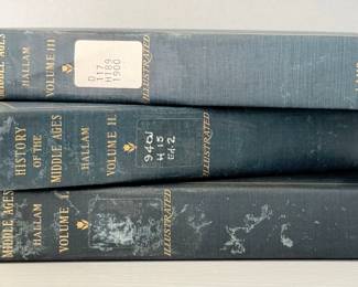
| History Of The Middle Ages Vol I, II, III By Henry Hallam | ||
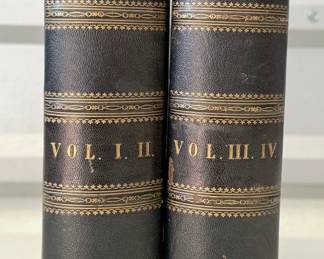
| The Sea By F. Whymper Vol I. II. And Vol III. IV. | ||
| History Of The World Vol I, II | ||
| Vintage By Middle Seas Book By J. E. Stanton | ||
| Bristol As It Was And As It Is By George Frederick Stone | ||
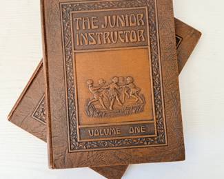
| The Junior Instructor Volume One And Volume Two | ||
| Cambria Triumphans Or Brittan In Its Perfect Lustre By Percy Enderbie, Gent. | ||
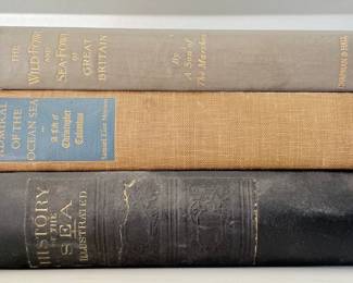
| Trio Of Vintage Books Including The Wild Fowl And Sea Fowl Of Great Britain | ||
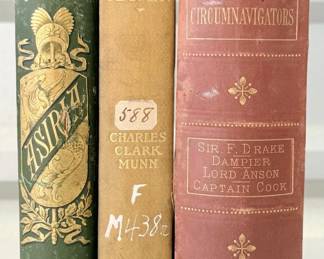
| Trio Of Vintage Books Including Rockhaven By Charles Clark Munn | ||
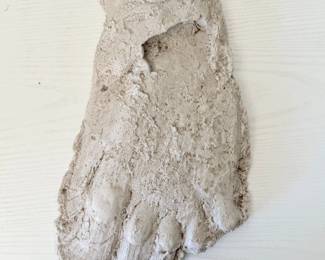
| Big Foot Plaster Mold Blue Mountains WA | ||
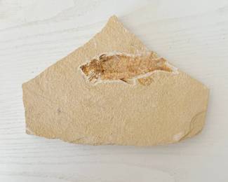
| Rock Slab Fish Fossil | ||
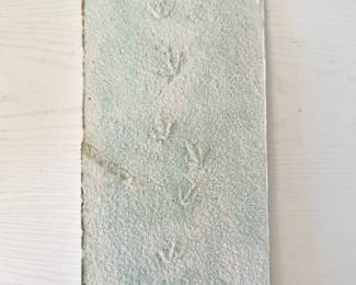
| Three Toed Footprint Fossil | ||
| Character Sketches Of Romance Fiction And The Drama Series By The Rev. E. Cobham Brewer, LLD. | ||
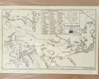
| Antique Route Map Anglo-american Oil Company, Exploration Of Ethiopia Dudley Expedition 1920-1921 | ||
| Antique Map Of The Duchy Of Limburg | ||
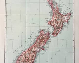
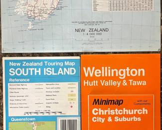
| Antique Map Of New Zealand Copyright 1910 | ||
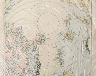
| Antique Map Of North Polar Regions | ||
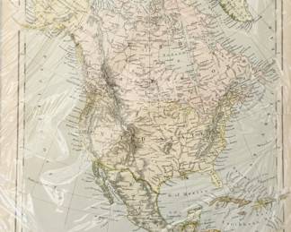
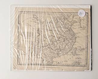
| Antique Map Of North America | ||
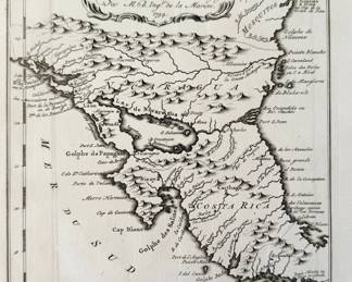
| Antique Map Titled Carte Des Provinces De Nicaragua Et Costa Rica 1754 | ||
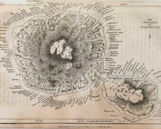
| Antique Map Of The Island Of Otaheite | ||
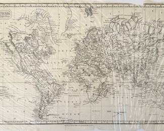
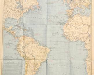
| Antique World Map | ||
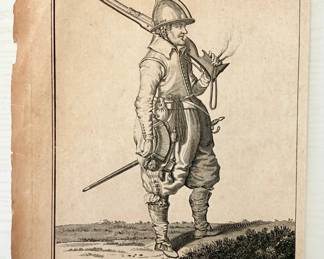
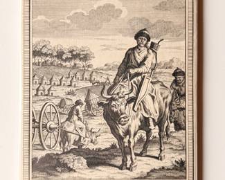
| English Soilder From The Time Of King James I In A Posture Of Defense Armed With A Caliver | ||
| Antique Etching "ass, Ape, & Mole" By Samuel Howitt | ||
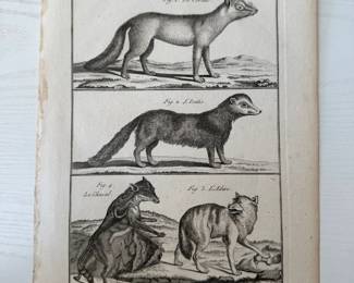
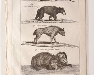
| Antique Copper Print Plate 87 From The "histoire Naturelle, Quadrupedes" | ||
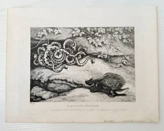
| Porcupines And Snakes By Samuel Howitt | ||
| "historie Naturelle. Quadrupedes" | ||
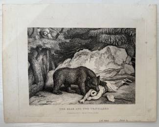
| The Bear And Two Travellers By Samuel Howitt | ||
| Antique Print From "History Naturelle" By Buffon | ||
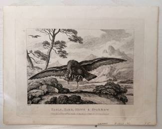
| Eagle, Hare, Hawk & Sparrow By Samuel Howitt | ||
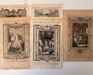
| Variety Of Antique Engraved Prints From "barnard's New Complete & Authentic History Of England | ||
| Trio Of Antique Maps And Coastal Profiles Including Map Of Kerguelen's Land | ||
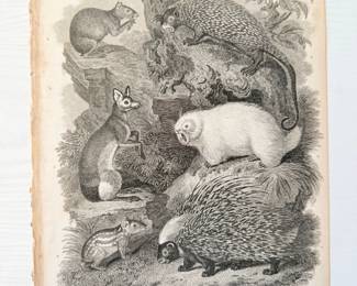
| Vintage Engraving Print Titled Quadrupeds | ||
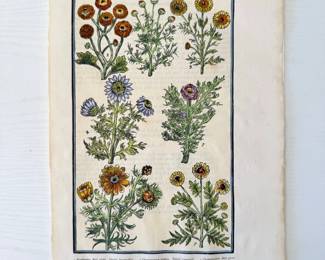
| The Garden Of Pleasant Flowers | ||
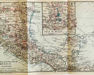
| Vintage Los Estrados Meridionales De Mexico Map Print | ||
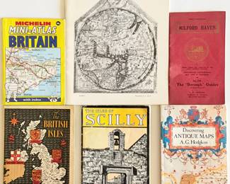
| Assortment Of Books Including "antique Maps" By Alan Hodgkiss | ||
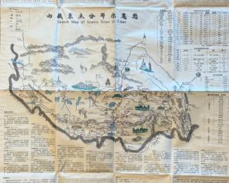
| Vintage Sketch Map Of Scenic Sites In Tibet | ||
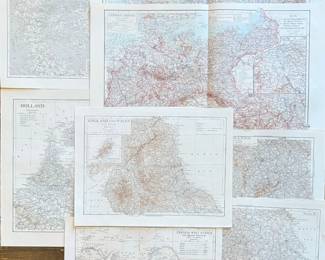
| Assortment Of Vintage Maps Including Denmark, Holland, German Empire And More | ||
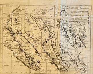
| Vintage Carte De Californie Suivant Map Print | ||
| Vintage Map Of Cuba Copyright In 1897 Print | ||
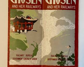
| Chosen And Her Railways, Including Sketch Map Of Chosen | ||
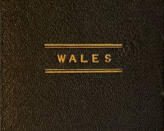
| Pocket County Map Of Wales By Sidney Hall | ||
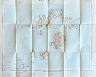
| Isles Of Scilly Foldable Map | ||
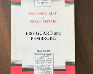
| Fishguard And Prembroke Map Of Great Britain | ||
| Road Map Of Great Britain | ||
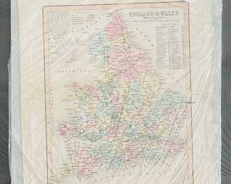
| Vintage Map Of England And Wales With Part Of Scotland | ||
| Road Map Of England And Wales | ||
| Large Scale Dartmoor & Exmoor Road Map | ||
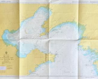
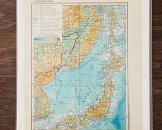
| Vintage China & Korea Bo Hai And The Northern Part Of The Yellow Sea Road Map | ||
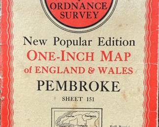
| England And Wales Pembroke Road Map | ||
| Trio Of Vintage Maps Of Pembrokeshire | ||
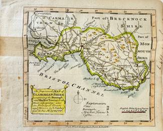
| An Improved Map Of Glamorgam Shire | ||
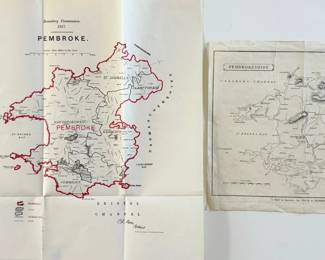
| Pair Of Vintage Maps Of Pembroke, And Pembrokeshire | ||
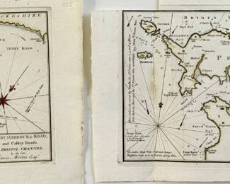
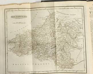
| Pair Of Vintage Maps Of South Wales And, Bristol Channel | ||
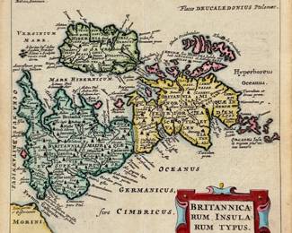
| Antique Britannicarum Insularum Typus Map | ||
| Pair Of Vintage Maps Of Pembrokeshire | ||
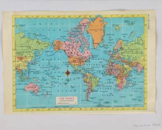
| Vintage Map Of The World In 1960 Print | ||
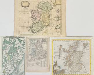
| Assortment Of Vintage Maps Including Ireland, England And More | ||
| Antique Cole & Roper Map Of Pembrokeshire | ||
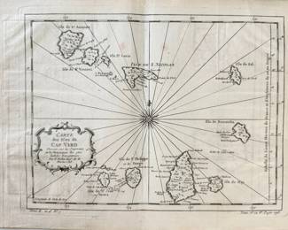
| Vintage Carte Des Ifles Du Cap Verd Map | ||
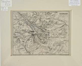
| Antique Map Of Snowdon And Vicinity | ||
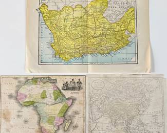
| Trio Of Vintage Maps Including Africa, Cape Colony, And Asia | ||
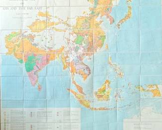
| Geological Map Of Asia And The Far East | ||
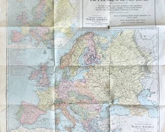
| The First Map Of The New Europe | ||
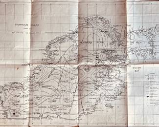
| Vintage Skokholm Island Map | ||
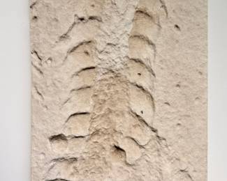
| Fossil Plaster Cast Of Trilobite | ||
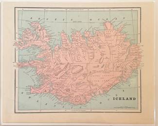
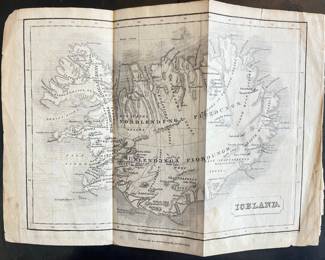
| Iceland- Cram, C. 1890 Map | ||
| Italy- Tunison, C. 1887 Map | ||
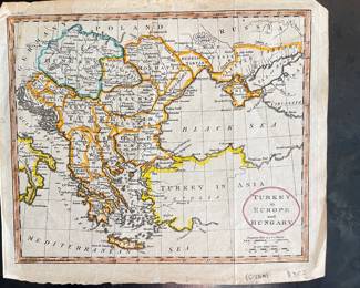
| Hungry With Turky In Europe Copperplate Engraved Map | ||
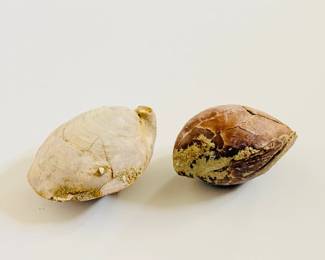
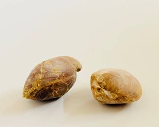
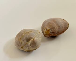
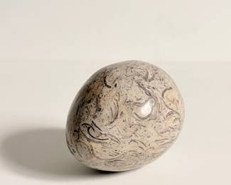
| Natural Fossil Stone 1 Of 2 | ||
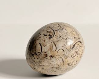
| Natural Fossil Stone Egg 2 Of 2 | ||
| Burma- The Old Map Gallery | ||
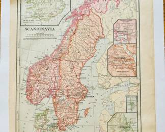
| Antique Map Of German Empire Netherlands Belgium Scandinavia | ||
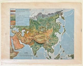
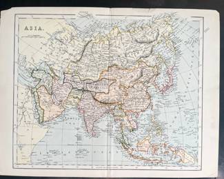
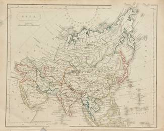
| 1930 Color Map Of Asia | ||
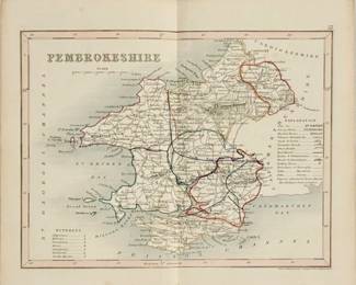
| Antique Map Of Pembrokeshire | ||
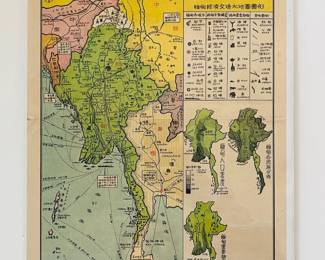
| Burma, 1958 Map- Old Map Gallery | ||
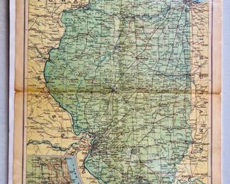
| 1931 National Geographic Society For National Geographic Magazine Map Of Illinois | ||
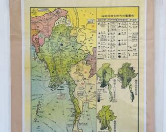
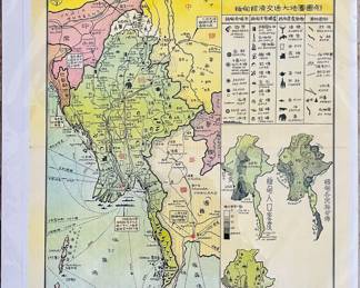
| 1950s Burma Map Page | ||
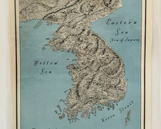
| Physiography Of Korea Map Print | ||
| New Encyclopedia Atlas & Gazetteer, England & Wales, And Europe. Copyright In 1908 | ||
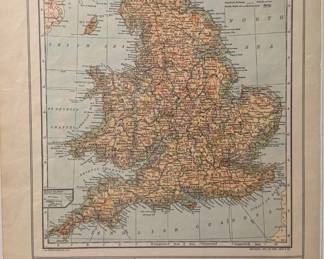
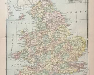
| Encyclopedia Britannica Published In 1898 Of England And Wales | ||
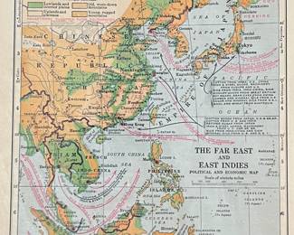
| 1930 Color Map Of The Far East And East Indies - Political And Economic | ||
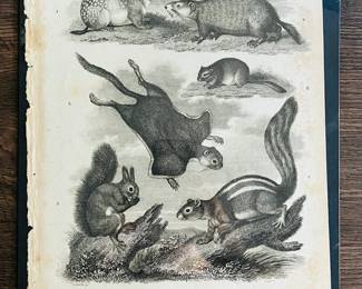
| Quadrupeds Class Mammalia, Book Page | ||
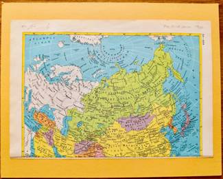
| The Soviet Union Map 1960 | ||
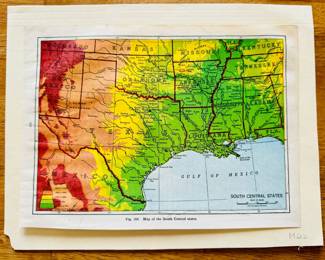
| Antique 1942 School Book Map Of South Central States | ||
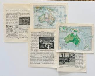
| Australia And New Zealand Old Map Prints And Articles | ||
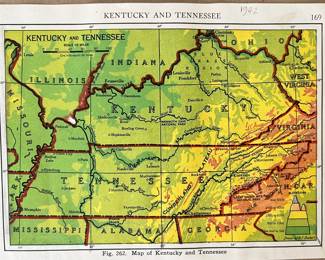
| Color Map Of Kentucky & Tennessee - The New World Past And Present | ||
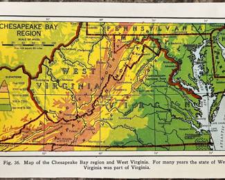
| Color Map Of The Chesapeake Bay Region And West Virginia - The New World Past And Present | ||
| Vintage New Zealand Road Maps | ||
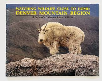
| Watching Wildlife Close To Home Denver Mountain Region- Special Edition Book | ||
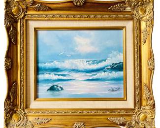
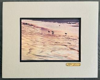
| Framed Coastal Landscape Oil Painting Signed By Artist | ||
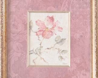
| Vintage Floral Print Signed By Blum | ||
| Vintage Shanghai Girls Cigarette Box | ||
| Giant Mexican Limpet Fossil | ||
| Vintage "is America Flunking Science" Magazine Cover | ||
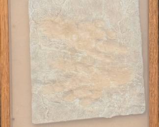
| Vintage Skeleton Leaf Wall Art | ||
| Antique Newspaper Clipping From Aspen Times Announcing Bob Dylan Winning Nobel Prize In Literature | ||
| LP Vinyl Records - Childrens Records | ||
| Antique Map Of Iceland - Oliver And Boyd, Eidenburgh | ||
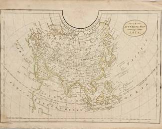
| Antique Map Of Asia - 1805-1812 | ||
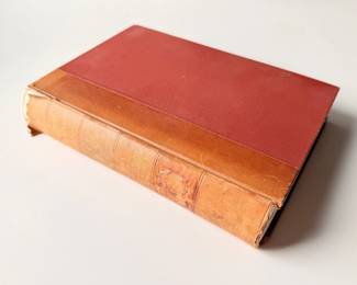
| Izaak Walton - The Complete Angler Or The Contemplative Mans Recreation - 1876 Reprint | ||
| Souvenir Of Bath Folio With Sepia Photos | ||
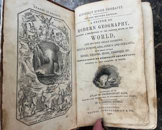
| 1846 - A System Of Modern Geography - S. Augustus Mitchell | ||
| Vintage Color Map Of Asia | ||
| Grallae Plate III, Page 322 Vol.10 By Thomas Tegg | ||
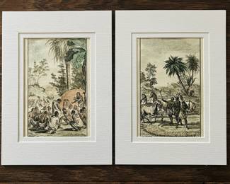
| South Africa Hottentot Wedding Prints | ||
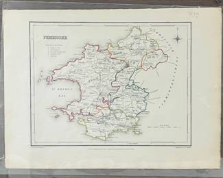
| Pembroke Drawn And Engraved For Lewis Topographical Dictionary By R.Creighton | ||
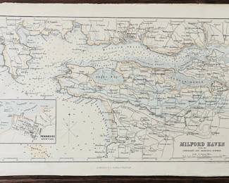
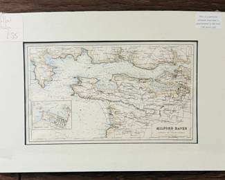
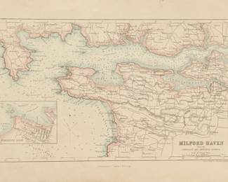
| Milford Haven From The Admiralty And Ordinance Surveys, Map | ||
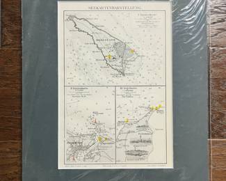
| Sailing Map Around 1905 Helgoland North Sea Lighthouses Map | ||
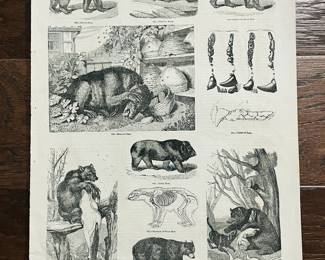
| Museum Of Animated Nature Book Page By Charles Knight | ||
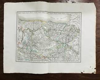
| Map Of The Northern Basque Country And The Western Part Of The Pyrenees Dating Back To The 18th Century | ||
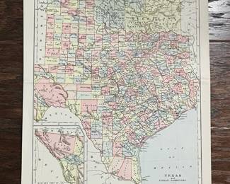
| Texas And The Indian Territory Vintage Map Print | ||
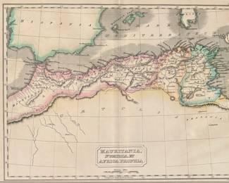
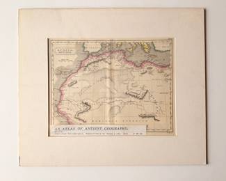
| 1831 - An Atlas Of Ancient Geography, Mauritania | ||
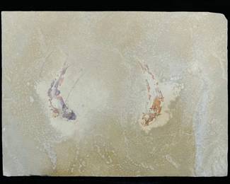
| Fossilized Fish Stone Plaque | ||
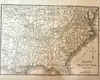
| Map Of The Seat Of War 1861-1865 | ||
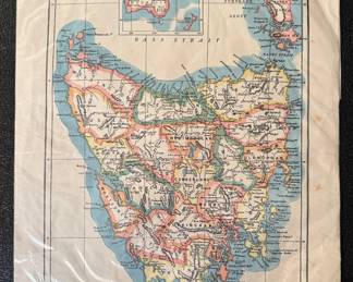
| Vintage Map - Tasmania | ||
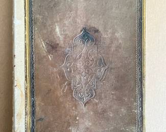
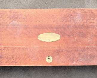
| Vintage Wooden Case | ||
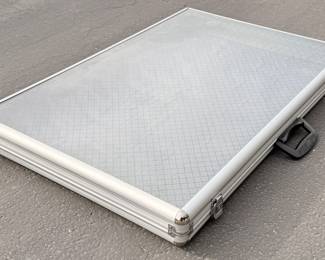
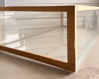
| Aluminum And Tempered Glass Display Case | ||
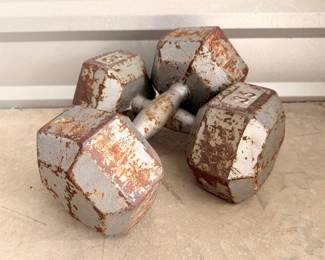
| 35 Pound Weights | ||
| Waddell Wood And Glass Horizontal Display Case | ||
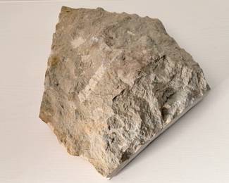
| Limestone Rock With Partial Fossils | ||
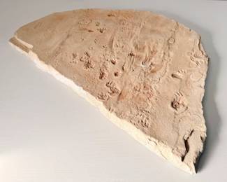
| Trace Fossil Plaster Slab | ||
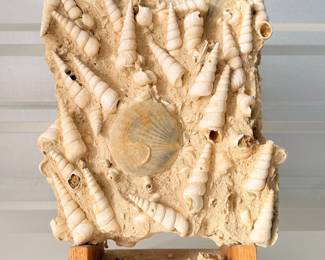
| Fossilized Cluster Of Turritella Shells Embedded In Sand | ||
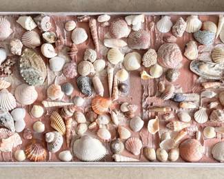
| Collection Of Various Shells On Board | ||
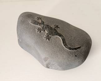
| Decorative Stone With Carved Lizard | ||
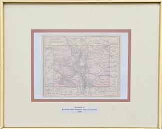
| Framed Facsimile Of A Miniature Map Of Colorado By Rand McNally 1899 | ||
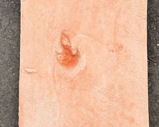
| Small Theropod Trackway, Early Jurassic Epoch. Plaster | ||
| Large Bipedal Crocodilian Batrachopus Grandis Framed Fossil | ||
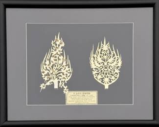
| King And Queen Gold Diadem Ornaments From Tomb Of King Munyong | ||
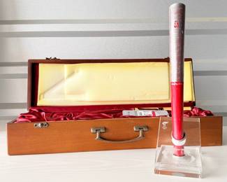
| Beijing 2008 Summer Olympics Torch In Original Box | ||
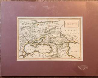
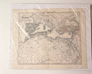
| Sarmatia Hand Colored Engraved Map | ||
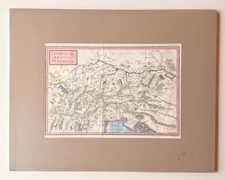
| Vindelicia, Rhaetia, Et Noricvm (knapton London) Hand Colored Map | ||
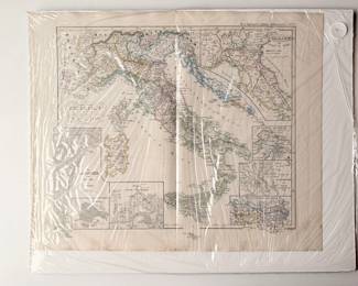
| Antique Map Of The Venetian Lagoon Area | ||
| Antique Map Titled "The Kingdom Of Portugal At Its Greatest Extent" | ||
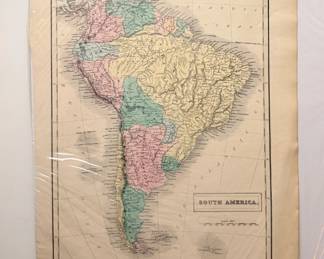
| South America Antique Colored Map | ||
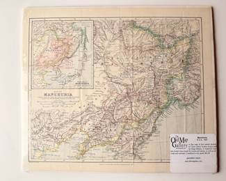
| Manchuria R.G.S. 1887 Map From The Old Map Gallery | ||
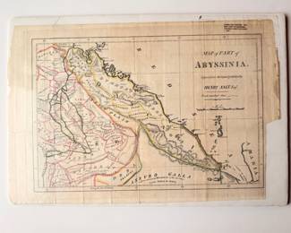
| Henry Salt Original Hand Colored Map Of Part Of Abyssinia | ||
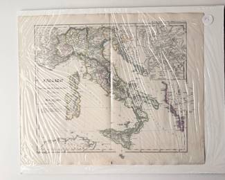
| Antique Map Of Italy | ||
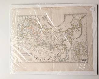
| Territorial Expansion Of The Russian Empire Antique Map | ||
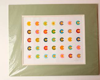
| Colorado "C" Colored Print By Rafa Jenn 2012, Signed | ||
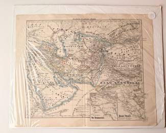
| Central And South Asia Antique Map | ||
| Map Of Boursa, Cyzicus Copperplate Engraving | ||
| Genuine Antique Copper Original Color Map Of South Wales, 1793 | ||
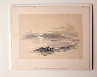
| David Roberts Views From Egypt, Nubia And The Holy Land. Duo Tone Lithographs With Hand Finishing | ||
| Hand Colored Engraving Of A Comprehensive Atlas Geographical Of Egypt | ||
| Europe Maps And Charts By Tho Bowen | ||
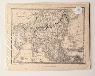
| Asia Antique Map | ||
| China Antique Map | ||
| Atlas Of The World (Idaho) Map | ||
| Pembrokeshire C1720 Genuine Antique Map By Owen And Bowen | ||
| Original Antiquarian Map Of Pembrokeshire By E. Bowen | ||
| Mountains Central Asia , 1894 Antique Map | ||
| Carmarthen Antique Colored Print | ||
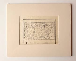
| United States Woodblock Engraving Map | ||
| Europe From The Best Authorities Antique Map | ||
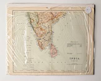
| India Southern Part Antique Map | ||
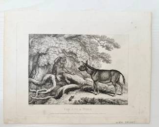
| Fox And The Tiger Hand Colored Engraving | ||
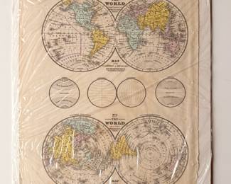
| Antique Hand Colored Map Of The World On An Equatorial Projection | ||
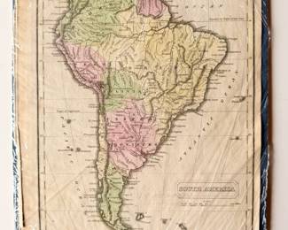
| South America Antique Map | ||
| Scottish 1805 Hand Colored Engraved Map | ||
| An Atlas Of Antient Geography Africa, By Carey And Lea 1831 | ||
| International Atlas Of The World C 1915 Map | ||
| Ridpaths C 1914 Antique Map | ||
| Histoire Naturelle Hand Colored Engraving Published 1756 | ||
| West Indies From The Best Authorities, Antique Map | ||
| Genuine Antique Map Of Pembrokeshire By Owen And Bowen | ||
| 1761 Antique Map Of Tibet, Afghanistan And Nepal | ||
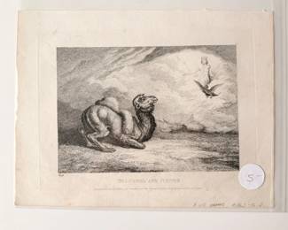
| The Camel And Jupiter Etching By Samuel Howitt | ||
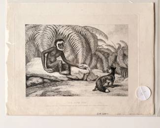
| Ape And Fox Etching By Samuel Howitt | ||
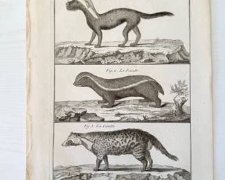
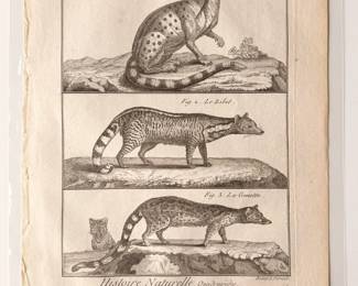
| Antique Print Of The Civet Of Malacca, Africa And The Genet Engraving By Buffon | ||
| Antique Original Copperplate Engraving Natural History Quadrupedes | ||
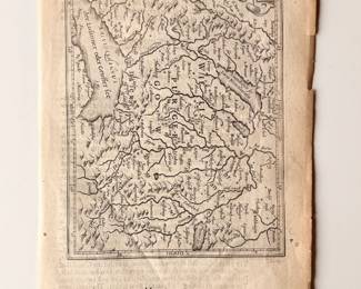
| 1637 Friborg Engraving Antique Map | ||
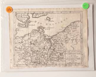
| General Governments Antique Map | ||
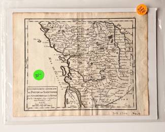
| Robert De Vaugondy 1749 Historical Region Antique Map | ||
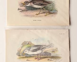
| Lloyds Natural History British Birds Stone Curlew And Glaucous Gull | ||
| Mexico, Central America And The West Indies Antique Map | ||
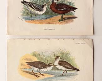
| Grey Phalarope And Sandpiper Prints From Lloyds Natural History British Birds | ||
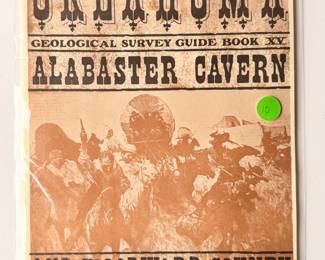
| Oklahoma Geological Survey Guidebook Of The Alabaster Cavern And Woodward County | ||
| "Tartares Taguris" Antique Engraving | ||
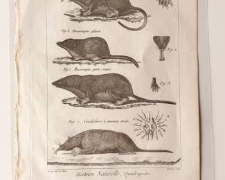
| Antique Print Featuring Illustrations Of Shrews And Related Mammals | ||
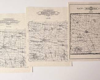
| Antique Maps For 1881-1908-1922 Indiana | ||
| 250 Year Old Antique Welcoming Ceremony Map | ||
| Antique Map Of Europe | ||
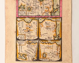
| Antique Copper Engraved Map Titled "Das Mitternachtige Theil Des Alten Asien" | ||
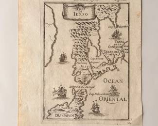
| Antique Copperplate Map Of Terre De Lesso | ||
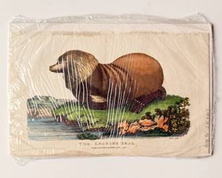
| The Leonine Seal Antique Colored Print | ||
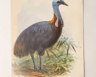
| Casuarius Bicarunculatus Colored Print | ||
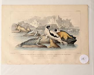
| Hand Colored Etching Of Seals | ||
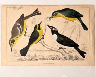
| Antique Hand Colored Engraving Of Warbler Birds | ||
| Antique Print Titled "Orang Outang" | ||
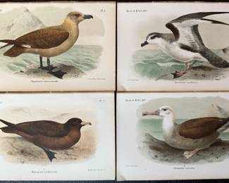
| 1896 - Catalogue Of Bird In The British Museum - Selection Of Sea Birds, Part 1 | ||
| Vintage 3D Map Of China | ||
| Pembrokeshire Map | ||
| Pembroke Map- Drawn And Engraved For Lewis Topographical Dictionary | ||
| Milford Haven Genuine Antique Map | ||
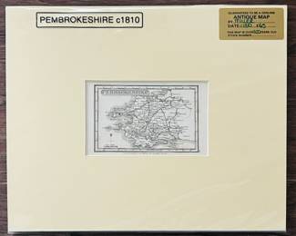
| Pembrokeshire C1810 Genuine Antique Map By Miller With COA | ||
| South Wales Genuine Antique Map By Stanford, 1904 | ||
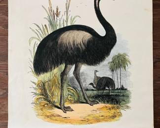
| The Emeu- Casaurius Novae Hollandiae Print | ||
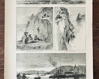
| The Graphic- An Excursion To St. Kilda (starting From Oban) 1890 | ||
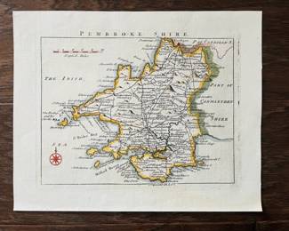
| Pembroke Shire- The Irish Map | ||
| Russian Map Of China Sea 1957, Antique Map | ||
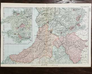
| Wales Central 54 Map | ||
| Vintage Map Of The South Polar Regions | ||
| England And Wales Section V. Map From The Encyclopedia Brittanica 1910 | ||
| England And Wales With Its Roads And Rivers | ||
| Antique Copper Plate Map Of Turkey And Europe - 1760, London | ||
| Animal Kingdom Mollusca Plate 41 | ||
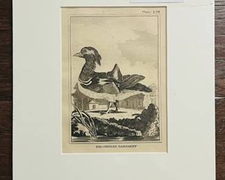
| The Chinese Garganey. Count Buffon From The Natural History, Copperplate Engraving. 1812 | ||
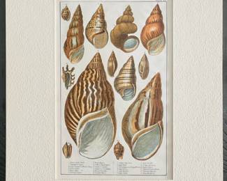
| 19th Century Antique Hand Colored Shell Engraving With Multiplate Color | ||
| Vintage African Map Page Prints | ||
| Vintage Seagulls Colored Print | ||
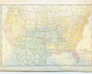
| Map Of The United States | ||
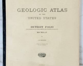
| Geological Atlas Of The United States Detroit Folio Michigan By W.H. Sherzer | ||
| Geological Atlas Of New Jersey Trenton Folio | ||
| Geological Atlas Of The United States State Of Oklahoma Compiled By Hugh D. Miser | ||
| Geological Atlas Of The United Stated Columbus Folio Ohio | ||
| Antique Map Of South Wales | ||
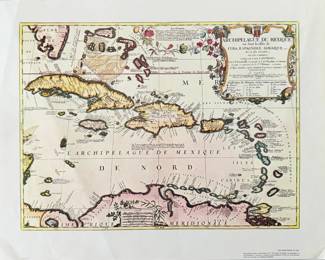
| Historical Map Of The West Indies Titles Archipelago Du Mexique | ||
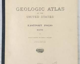
| Geological Atlas Of The United States Eastport Folio Maine | ||
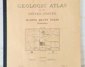
| Geological Atlas Of The United States Scotts Bluff Folio Nebraska | ||
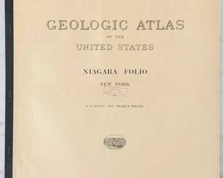
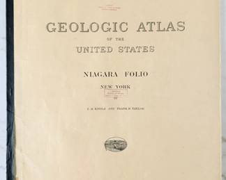
| Geological Atlas Of The United States Niagra Folio New York | ||
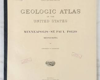
| Geological Atlas Of The United States Minneapolis St Paul Folio Minnesota | ||
| Geological Atlas Of The United States Niagra Folio New York | ||
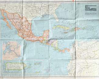
| Antique Map Of Mexico, Central America And The Caribbean Area | ||
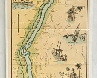
| Antique Map Of The Nile River | ||
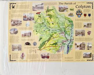
| The Parish Of Colyton | ||
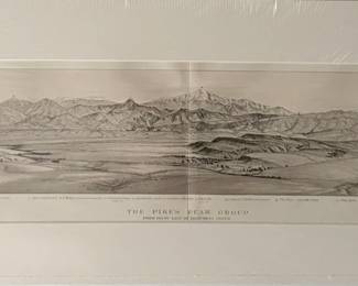
| The Pikes Peak Group Print | ||
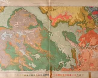
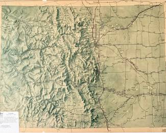
| Antique Map Of Western Colorado And Part Of Utah | ||
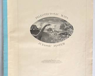
| Paleotectonic Maps Jurassic System | ||
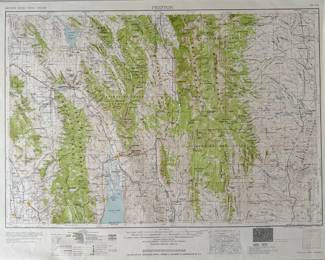
| Historical Topographic Map Of The Preston Quadrangle | ||
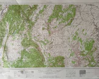
| Historical Topographic Map Tilted Salina | ||
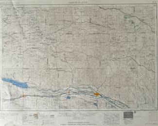
| Historical Topographic Map Of North Platte Nebraska | ||
| Reproduction Historical Topographic Map Of The Pocatello Idaho Area | ||
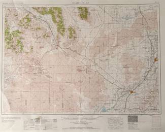
| Historical Topographic Map Of Idaho Falls Quadrangle | ||
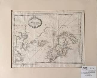
| Antique French Map Titled Carte Reduite Des Mers Du Nord | ||
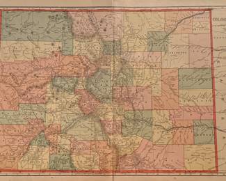
| Antique Map Of Colorado | ||
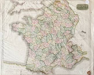
| Historical Map Of France Around The Period Of The French Revolution | ||
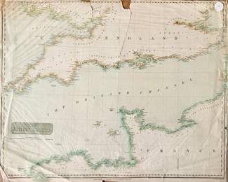
| Antique Map Of The British Channel | ||
| Topographical Maps Of Canada | ||
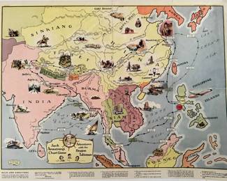
| Jack Armstrong's Chart Game: Adventures With The Dragon Talisman Map | ||
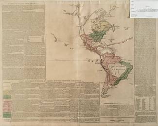
| 1806 Historical Map Of North And South America Titled Divisions Of Geographiques Et Politiques De I'Amerique | ||
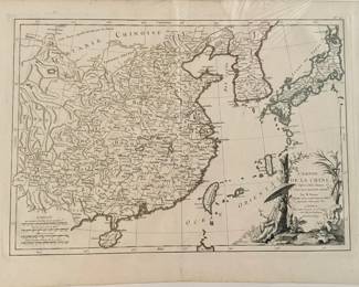
| Antique Map L'Empire De La Chine, D'aprs I' Atlas Chinois, Avec Les Isles Du Japon | ||
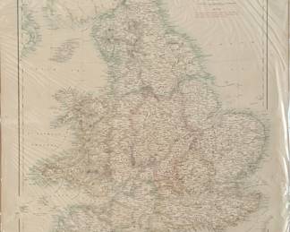
| Antique Map Of England And Wales | ||
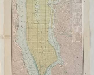
| Antique Map Of New York, Brooklyn, And Boston | ||
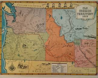
| Antique Map Of Old Oregon Territory 1848 | ||
| Antique Map Of Egypt Eastern Desert Or Northern Etbai | ||
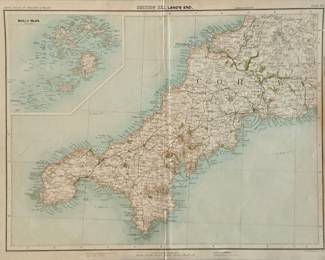
| Historical Map Titled SECTION XXI. LAND'S END From The Royal Atlas Of England And Wales | ||
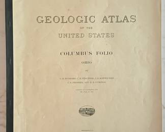
| Geological Atlas Of The United States Columbus Folio Ohio | ||
| Vintage Map Of The State Of Wyoming | ||
| Antique Map Of South West England And South Wales By Gerard Mercator | ||
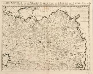
| Historical Map Tilted Carte Nouvelle De La Grande Tararie Ou De L'Empire Du Grand Cham 1696 | ||
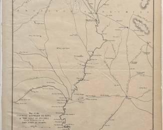
| Antique Map Of The Country Between Pe-king & The Gulf Of Pe-chili | ||
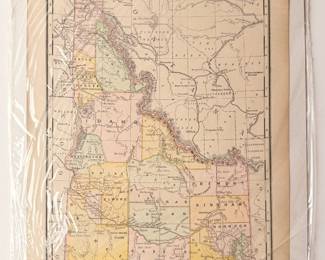
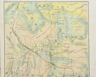
| Antique Map Of A Portion Of Western North America | ||
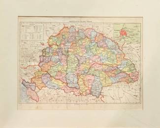
| Antique Political Map Of Hungary | ||
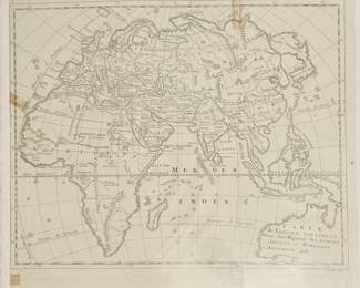
| Antique French Map Of The Eastern Hemisphere | ||
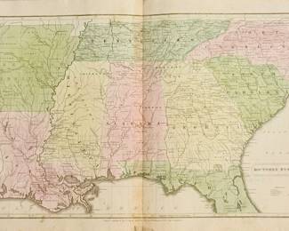
| Antique Maps Of Southern States | ||
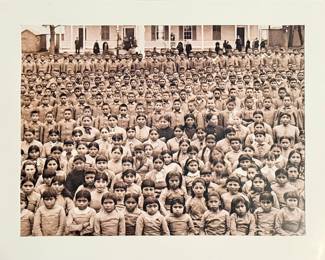
| Historical Photograph Of The Student Body At The Carlisle Indian Industrial School In 1884 | ||
| Antique Engraved Map Of China | ||
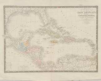
| Antique Hand Colored Map Titled Carte Des Iles Antilles | ||
| Antique Map Tilted Germany IV Austrian Dominions I | ||
| Antique Map Titled Austian Dominons II | ||
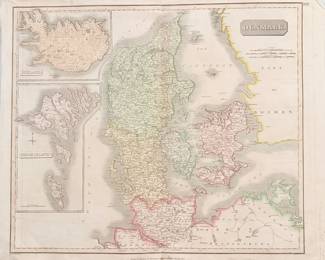
| Antique Map Of Denmark | ||
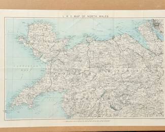
| L M S Map Of North Wales | ||
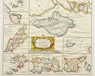
| Antique Map Of The Smaller Islands In The British Ocean | ||
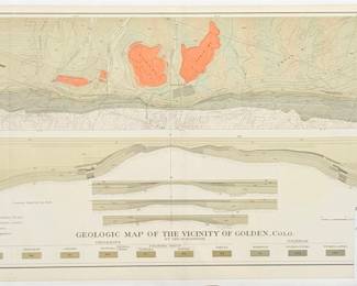
| Antique Map Of Golden Colorado | ||
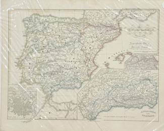
| Historical Map Of The Iberian Peninsula Titled "reich Der Westgothen" | ||
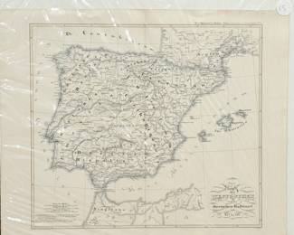
| Historical Map Of The Iberian Peninsula | ||
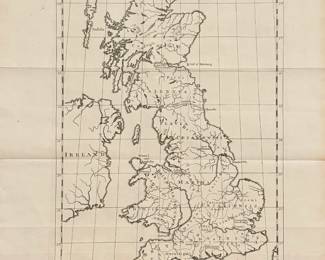
| 18th Century Map Titled "britannia Romana" | ||
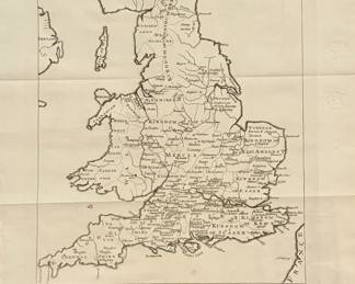
| Antique Map Titled "britannia Saxonica" | ||
| Antique Map Of The Atlantic Ocean | ||
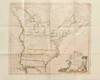
| Abel Buell's 1784 Map Titled A New And Correct Map Of The United States Of North America | ||
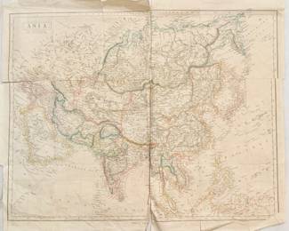
| Antique Map Of Asia | ||
| Antique Map Of The State Of Colorado, Texas, And Arkansas | ||
| Antique Print Titled Pompous Exit Of The Governor Of Miako | ||
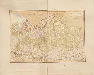
| Antique Hand Colored Map Of Russia | ||
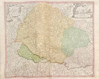
| Antique Map Titled Regni Hungarian Tabula Generalis | ||
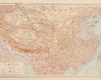
| Antique Map Of China | ||
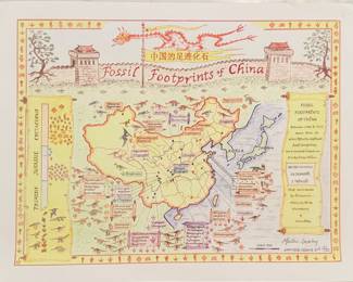
| Fossil Footprints Of China Signed And Numbered | ||
| Fossil Footprints Of China Signed And Numbered | ||
| Vintage Map Of The United States | ||
| Antique Map Of Pembrokeshire | ||
| Antique Copper Plate Engraved Map Of Southern Devonshire England 1803 | ||
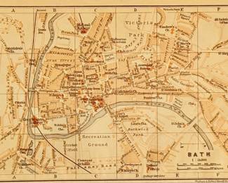
| Antique City Map Of Bath England | ||
| Antique Map Of Milford Haven | ||
| Antique Map Of China And Japan | ||
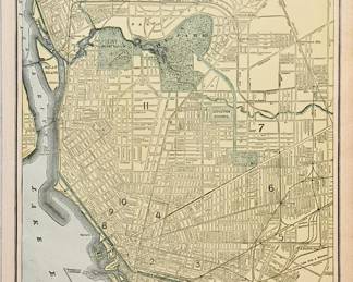
| Antique Map Of Buffalo | ||
| Antique Map Of Asia | ||
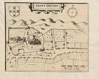
| Antique Map Of The City Of Saint Davids Wales | ||
| Antique Map Of Penbroke | ||
| Antique Book About South Wales, The Universal Magazine For April 1797 | ||
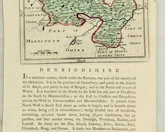
| Antique Map And Descriptive Text Of The County Of Denbighshire | ||
| Antique Map Titled Ostindien Und China | ||
| Antique Map Of Asia |


Thank you for using EstateSales.NET. You're the best!